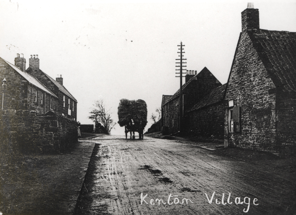
Kenton village
Kenton village
HER Number
1345
District
Newcastle
Site Name
Kenton village
Place
Kenton
Map Sheet
NZ26NW
Class
Domestic
Site Type: Broad
Settlement
Site Type: Specific
Shrunken Village
General Period
MEDIEVAL
Specific Period
Medieval 1066 to 1540
Form of Evidence
Documentary Evidence
Description
First reference is from the 12th century, when William of Newham (living in 1166) and Ralph his brother gave Kenton to William's daughter. A member of the barony of Whalton, it had 6 taxpayers in 1296. The original shape of this hamlet is uncertain, but it was perhaps T-shaped, with an east-west two-row layout at right-angles to another running south to the Town Moor, the first possibly with a green. By the mid 19th century it was extremely straggly, perhaps having been stretched out by the addition of post-medieval miners' dwellings.
Easting
421900
Northing
567600
Grid Reference
NZ421900567600
Sources
<< HER 1345 >> W.H. Thompson, 1921, Northumberland Pleas, 1198-1272, Newcastle Record Series, II, no. 469
M.H. Dodds, 1930, Kenton Township, Northumberland County History, XIII , 355-66
The College, Shafto Papers, 18th century, Nos. 151, 257 -Durham University Special Collections 5
Tithe Awards, 1841, Kenton, Northumberland Records Office, DT 273 M
R. Welford, (date unknown), History of the Parish of Gosforth, 77-90
Seymour Bell, 19th century, Kenton - Newcastle Library Local Studies.