The Close, Duke of Cumberland
The Close, Duke of Cumberland
HER Number
6681
District
Newcastle
Site Name
The Close, Duke of Cumberland
Place
Newcastle
Map Sheet
NZ26SW
Class
Commercial
Site Type: Broad
Eating and Drinking Establishment
Site Type: Specific
Public House
General Period
POST MEDIEVAL
Specific Period
Hanoverian 1714 to 1837
Form of Evidence
Documentary Evidence
Description
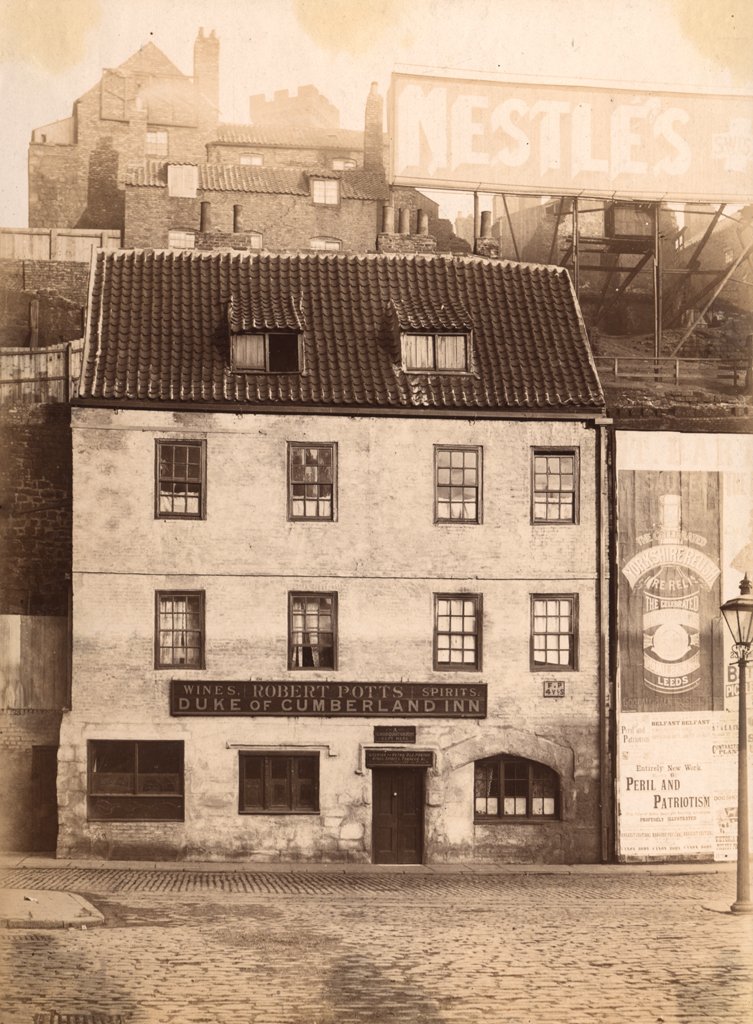
The Close, Duke of Cumberland
Shown on second edition Ordnance Survey 10.56” to 1 mile revision. Seems to have been much reduced in frontage. George Henderson 1783 innkeeper, Thomas Bell 1777. Mr Henderson’s freehold against Bankside.
Stone, 3 storeys
Shown on second edition Ordnance Survey 10.56” to 1 mile revision. Seems to have been much reduced in frontage. George Henderson 1783 innkeeper, Thomas Bell 1777. Mr Henderson’s freehold against Bankside.
Stone, 3 storeys
Easting
425080
Northing
563790
Grid Reference
NZ425080563790
Sources
Photograph by John Nolan, Newcastle City Archaeological Unit; Barbara Harbottle, 1973, No. 26 The Close, Newcastle upon Tyne in Archaeological Newsbulletin for Northumberland, Cumberland and Westmorland, No. 4, May 1973, pp 10-11; Bennison, Brian, 1996, Heady Days - A History of Newcastle's Public Houses, Volume One, The Central Area, p 40