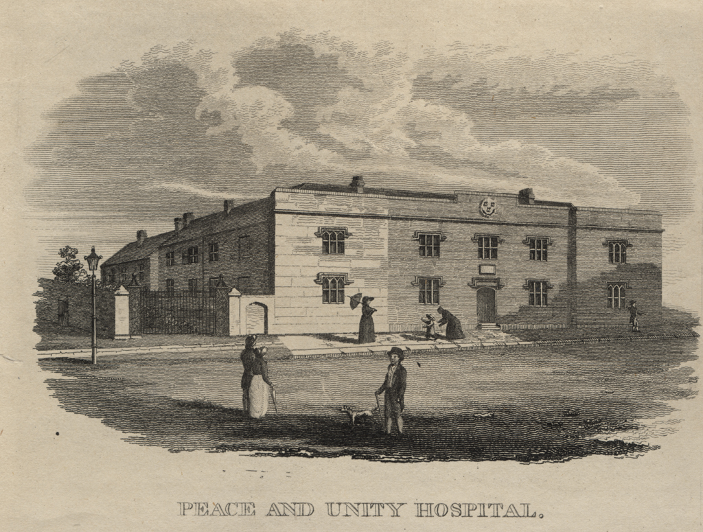
Westgate Road, Peace and Unity Hospital
Westgate Road, Peace and Unity Hospital
HER Number
11967
District
Newcastle
Site Name
Westgate Road, Peace and Unity Hospital
Place
Newcastle
Map Sheet
NZ26SW
Class
Health and Welfare
Site Type: Broad
Hospital
Site Type: Specific
Hospital
General Period
POST MEDIEVAL
Specific Period
Hanoverian 1714 to 1837
Form of Evidence
Demolished Building
Description
Built in 1814. Shown on Thomas Oliver's plan of 1830. Built over by a police station (HER 11966) in 1885.
Easting
424410
Northing
564020
Grid Reference
NZ424410564020
Sources
Heslop, D.H., Truman, L. & Vaughan, J.E., (in press), 'Excavations on Westgate Road, Newcastle, 1991', ARCHAEOL. AELIANA. Typescript.