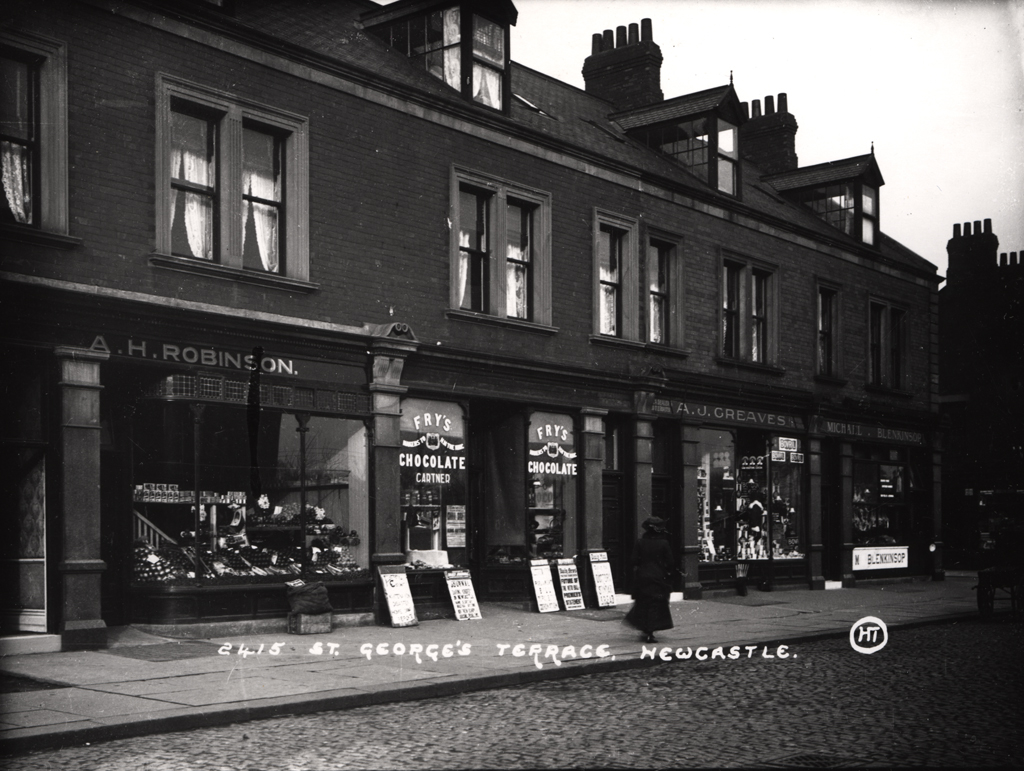
St. George's Terrace
St. George's Terrace
HER Number
13436
District
Newcastle
Site Name
St. George's Terrace
Place
Jesmond
Map Sheet
NZ26NE
Class
Commercial
Site Type: Broad
Shopping Parade
Site Type: Specific
Shopping Parade
General Period
20TH CENTURY
Specific Period
Early 20th Century 1901 to 1932
Form of Evidence
Extant Building
Description
Combined shops and dwellings on the west side of St. George's Terrace between Thornleigh Road and Coniston Avenue. Completed in 1900. In 1910 the shops included a drapers, a creamery, ladies' outfitter, bakery, grocery and pharmacy. Today they are a coffee house, post office, estate agency, pharmacy and wine shop. The rest of the road was completed by 1906 with ten more shops, terraced houses and two churches.
Easting
425260
Northing
566510
Grid Reference
NZ425260566510
Sources
Alan Morgan, 2010, Jesmond from mines to mansions, page 86