Town Moor
Town Moor
HER Number
1356
District
Newcastle
Site Name
Town Moor
Place
Newcastle
Map Sheet
NZ26NW
Class
Agriculture and Subsistence
Site Type: Broad
Common Land
Site Type: Specific
Common Land
General Period
MEDIEVAL
Specific Period
Medieval 1066 to 1540
Form of Evidence
Documentary Evidence
Description
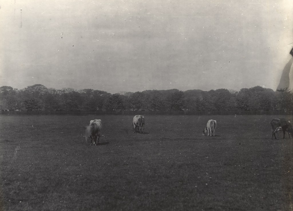
Newcastle's common. Originally 900 to 1000 acres. Though initially with no written title, the burgesses had been entitled to pasture a certain number of beasts and dig for coal on the Moor from 1213. This was noted in letters patent of Edward III of 1357 where it was written that the burgesses had enjoyed "the moor and lands called Castle-Feld and Castle-More" from the time they had had Newcastle at fee farm Brand interprets Castle Moor as the Town Moor, Castle Field as Castle Leazes. Oliver argued that the Town Moor and Castle Leazes originated thus: 2 caru- cates of demesne land, which had been granted to the nuns of St Bartholomew, were alienated by the Scots, Earl Henry or his father King David. In 1166 they escheated to Henry II, and were not recovered by the nuns. In 1213 John gave the burgesses 110s 6d rent of escheats which he had in Newcastle, and the lands became vested in the burgesses. "It seems probable that some part of the land is now represented by the Town Moor and Castle Leazes". In 1786 Ralph Heron was killed whilst helping Vincent Lunardi, the Daredevil Aeronaut, to raise a balloon on the town moor. Heron got entangled in the guy ropes and fell 200 feet to his death. In August 1792 the Bowmen of Chevy Chase held the first annual archery competition to win a silver quiver. One of its patrons was the Duke of Northumberland. In the mid C19 the Moor was the setting for foot races against the clock. In 1822 'pedestrian' George Wilson walked 90 miles around a half mile circuit in 24 hours. 40,000 people came to watch. In 1828 Peter MacMillan walked 110 miles in 24 hours. A fortnight later his mother Mary managed 92 miles in a day - a rare instance of a woman in early professional sport. This was 'peds' racing - against the clock. Another popular sport on the Town Moor was potshare bowling. It was popular with miners across the Northumberland and Durham Coalfields. Two men would compete to throw a small bowl the furthest distance along a roped off course known as 'the mile' (which was 875 yards long). Thousands of spectators would gather to watch and bet on the matches. In 1855, 1870 and 1880 there were calls to ban the sport from the Moor due to 'blasphemous language' having been used and after complaints from other sportmen using the Moor. Potshare bowling's heyday was 1870 to 1914. It continued until the 1930s. The 1870 Town Moor Improvement Act set aside a section of the Moor for recreation. The Moor was sold to the Town Council in 1885 for ÂŁ2,200. Widening of the surrounding roads has had a big impact on the Town Moor. Road works on the southern edge forced the golfers to move west in 1973. The 1988 Town Moor Act defines the joint management of the Moor by the City Council and the Freeman. The total moorland area now amounts to nearly 960 acres, 349 acres of which is the central town moor. Although there are larger urban green spaces in Britain (Richmond Park in London, Sutton Park in Birmingham and Pollok Park in Glasgow are bigger), Newcastle Town Moor is the largest green space so close to a city centre. It is double the size of Hyde Park in London. It is controlled by Newcastle City Council and the Freemen of the City who have grazing rights (herbage). The intake system allows the Freemen to designate up to 100 acres for purposes other than grazing on a lease no longer than 99 years. The Hoppings, a huge funfair, is located on the moor every summer. LOCAL LIST
Easting
424150
Northing
566183
Grid Reference
NZ424150566183
Sources
<< HER 1356 >> H. Bourne, 1736, History of Newcastle, 148-150; J. Brand, 1789, History of Newcastle, I, 431-7; A.M. Oliver, 1924, Early Newcastle Deeds, Surtees Society, 137, p.4;
S. Middlebrook, 1950, Newcastle upon Tyne passim; E.M. Halcrow, 1953, The Town Moor of Newcastle upon Tyne, Archaeologia Aeliana, 4, XXXI, 149-64;
Newcastle Library Local Studies, Thomas Oliver (Map), 1852, Plan of the Ancient Boundary of the Town Moor and Castle Leazes... L912.2 N536; David Whetstone, 2006, The Town Moor - Tyneside's finest open space in Tyneside's Finest, pp 61-62; Grace McCombie, 2009, Newcastle and Gateshead - Pevsner Architectural Guide, p. 34; Barbara Harbottle, 2009, The Medieval Archaeology of Newcastle in Diana Newton and AJ Pollard (eds), 2009, Newcastle and Gateshead before 1700, page 38; Pearson, Lynn, 2010, Played in Tyne and Wear - Charting the heritage of people at play, p 14, 26-49; newspaper cuttings relating to the death of Ralph Heron in 1786 held by the Society of Antiquaries of Newcastle upon Tyne; Royal Agricultural Society of England, 1864, Plan of the Royal Agricultural Society of England's exhibition grounds, Newcastle upon Tyne 1864, Newcastle Libraries C2 672691 00 4E / L912.2 N536, https://www.flickr.com/photos/newcastlelibraries/25631563573/in/album-72157666225808630/