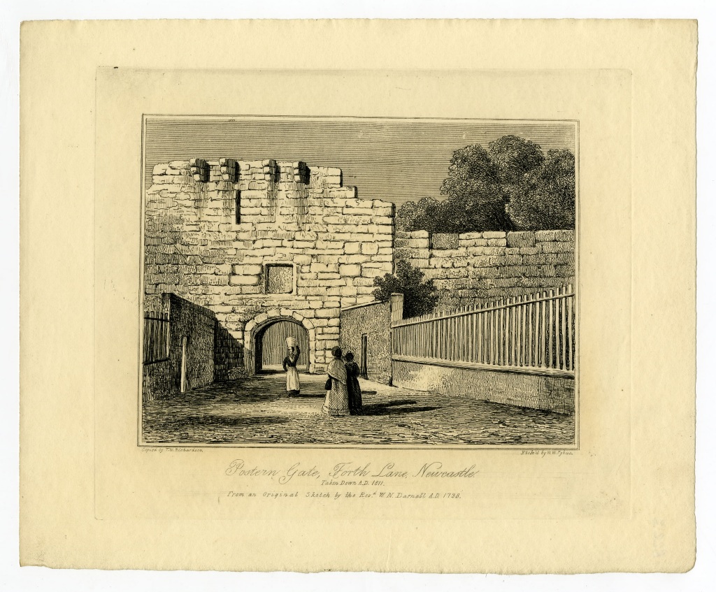
Newcastle town wall, postern to the Forth
Newcastle town wall, postern to the Forth
HER Number
1525
District
Newcastle
Site Name
Newcastle town wall, postern to the Forth
Place
Newcastle
Map Sheet
NZ26SW
Class
Defence
Site Type: Broad
Town Defences
Site Type: Specific
Town Wall
General Period
POST MEDIEVAL
Specific Period
Hanoverian 1714 to 1837
Form of Evidence
Demolished Building
Description
Between Gunner-Tower and the next towards West-Gate is a postern conducting to the Firth, made, as appears by an inscription over the gateway, in 1705. Forth Lane was then given to the town by a Mr. Whitfield from his own property to provide access from Westgate. The gate is said to have been taken down in 1811.
Easting
424520
Northing
563950
Grid Reference
NZ424520563950
Sources
<< HER 1525 >> J. Brand, 1789, History of Newcastle, I, 10n
E. Mackenzie, 1827, View of Newcastle, 109
G.B. Richardson, 19th century, The Walls of Newcastle, 120-1 -Newcastle University Library Unpublished MS
S. Holmes, 1896, The Town Walls of Newcastle upon Tyne, Archaeologia Aeliana, 2, XVIII, 13
E. Mackenzie, 1827, View of Newcastle, 109
G.B. Richardson, 19th century, The Walls of Newcastle, 120-1 -Newcastle University Library Unpublished MS
S. Holmes, 1896, The Town Walls of Newcastle upon Tyne, Archaeologia Aeliana, 2, XVIII, 13