Hadrian's Wall, Stephen Street to Dean Street (Wall mile 3)
Hadrian's Wall, Stephen Street to Dean Street (Wall mile 3)
HER Number
202
District
Newcastle
Site Name
Hadrian's Wall, Stephen Street to Dean Street (Wall mile 3)
Place
Byker
Map Sheet
NZ26SE
Class
Defence
Site Type: Broad
Frontier Defence
Site Type: Specific
Frontier Defence
General Period
ROMAN
Specific Period
Roman 43 to 410
Form of Evidence
Demolished Building
Description
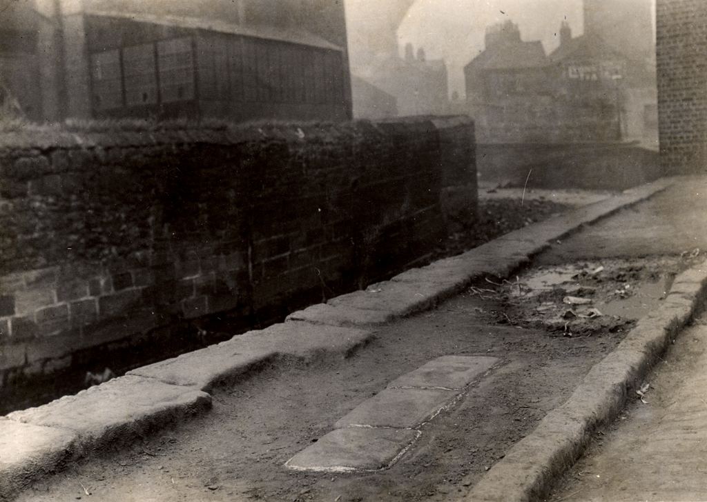
The course of the curtain wall and ditch from Stephen St, across the Ouse Burn, to the top (west end) of Stepney Bank is unknown, in spite of excavations in 1928 east and west of the burn, and in 1989-90 at the foot (east end) of Stepney Bank. West of Stepney Bank the curtain wall has been located in several places: west side Crawhall Road (1981), south of St. Dominic's (1928 & 1981), Gibson Street (1928), Grenville Terrace (1929 & 1978), Jubilee Road (1978), and Garth Heads (1994). On Hutton's map of Newcastle (1770) it was marked by a field boundary. The ditch was located in 1928- 9 at a number of points between the east side of Crawhall Road and the east side of Dean Street (Painter Heugh), via Tower Street and Silver Street. Pottery in the ditch at Painter Heugh (9 feet 6 inches deep) has been used as evidence for the site of Milecastle 4, but excavations east of Dean St in 1973 and 1988, and in lower part of Silver St in 1974, did not provide evidence to support this. The Military Way and Vallum were not located in 1981 excavations south of St. Dominic's. The Military Way was, however, seen by Horsley south of the Wall between St. Dominic's and Sallyport; and it was in existence south of Buxton Street "not long before 1855". A 2.8 metres section of Wall was located under a car showroom at the corner of Melbourne Street/Gibson Street at a depth of 2.3 metres in 2003. Interestingly it measured 2.6 metres wide, which is wider than the accepted width of the narrow Wall in this area. Neither Wall nor ditch were seen during a watching brief at Ouseburn Village Green, Lime Street in July 2003, nor in trial trenching at Byker Farm in 2002. Turret 3a was located beneath the site of the former Norris House on Crawhall Road in 2021. SCHEDULED ANCIENT MONUMENT AND UNESCO WORLD HERITAGE SITE
Easting
426400
Northing
564660
Grid Reference
NZ426400564660
Sources
<< HER 202 >> G.R.B. Spain, 1929, The Line of the Roman Wall through Newcastle, 2nd Report 1926-1928, North of England Excavation Committee, pp. 6-10
M.H. Dodds, ed. 1930, The Wall from Wallsend to Newcastle upon Tyne, Northumberland County History, XIII, pp. 493-499
G.R.B. Spain, 1931, Roman Discoveries near All Saints, the Castle and in Westgate Road, 3rd Report 1929-1930, North of England Excavation Committee, p. 2
R. Miket, 1973, Dean Street Car Park Site, Excavation report
D.R. Wilson, ed. 1974, Roman Britain in 1973, Britannia, 5, p. 410
R. Miket, 1974, Dean Street Car Park, Newcastle upon Tyne, Council British Archaeology 3, Archaeological Newsbulletin, No. 6, January 1974, p. 13
P. Clack, 1974, Silver Street, Newcastle, Council British Archaeology 3, Archaeological Newsbulletin, No. 8, Sept. 1974, pp. 2-3
F.G. Simpson, ed. G. Simpson, 1976, Watermills and Military Works on Hadrian's Wall: Appendix pp. 169-92
P.S. Austen, 1978, Melbourne Street - Jubilee Road, Excavation report, CEU 140
N.B. Rankov, ed. 1982, Roman Britain in 1981, Britannia, 13, p. 342
Excavation report, J. Bennett, 1981, St. Dominic's Priory, Red Barns, CEU 302
R. Fraser, 1982, Protect and Survive, OR Another Brick in the Wall, Council British Archaeology 3, Archaeological Newsbulletin, Series 2, No. 16, April 1982, p. 13
P.S. Austen, 1988, East of Dean Street, CEU 79
P.S. Austen, 1989, Stepney Bank South side, CEU 28A
P.S. Austen, 1990, Stepney Bank North side, CEU 28B
J. Nolan, 1994, Archaeological Evaluation...Hadrian's Wall...Garth Heads
J. McKelvey, 1995, Garth Heads
WSP, 2003, Report on Archaeology and Cultural Heritage - Melbourne Street, Newcastle upon Tyne
Archaeological Services University of Durham, 2003, Melbourne Street/Gibson, Street, Newcastle upon Tyne, Archaeological Evaluation
Fred Garrett, 2003, Tyne and Wear Museums, Ouseburn Village Green, Watching Brief
Tyne and Wear Museums, 2002, Byker City Farm, Archaeological Evaluation
Archaeological Services University of Durham, 2003, Sallyport Buildings, Melbourne Street, Newcastle upon Tyne, Archaeological Assessment
Archaeological Services University of Durham, 2003, Sallyport Buildings, Melbourne Street, Newcastle upon Tyne, Archaeological Evaluation
K. Inkster & L. Truman, 1997, Tyne and Wear Museums, Stepney Bank Development, Archaeological Assessment
W. Muncaster, 1998, Tyne and Wear Museums, An Archaeological Evaluation at Stepney Bank
J. McKelvey, 1999, Tyne and Wear Museums, An Archaeological Evaluation beneath Byker Bridge, Newcastle upon Tyne
G. Stobbs, 2004, Tyne and Wear Museums, Stepney Bank, Newcastle Archaeological Evaluation
Pre-Construct Archaeology, 2004, An Archaeological Evaluation at Sallyport Garage, Causey Bank, Newcastle upon Tyne; David J. Breeze, 2006, J. Collingwood Bruce's Handbook to the Roman Wall, 14th edition; Guy de la Bedoyere, 2005, Hadrian's Wall History and Guide; A.C Platell, 2012, Excavations on Hadrian's Wall at Melbourne Street, Newcastle upon Tyne, Archaeologia Aeliana, Fifth Series, Vol 41, pp 185-206; The Archaeological Practice Ltd. 2008, Stepney Bank, Newcastle upon Tyne - Archaeological Assessment; AD Archaeology, 2017, Crawhall Road, Newcastle upon Tyne - Watching Brief