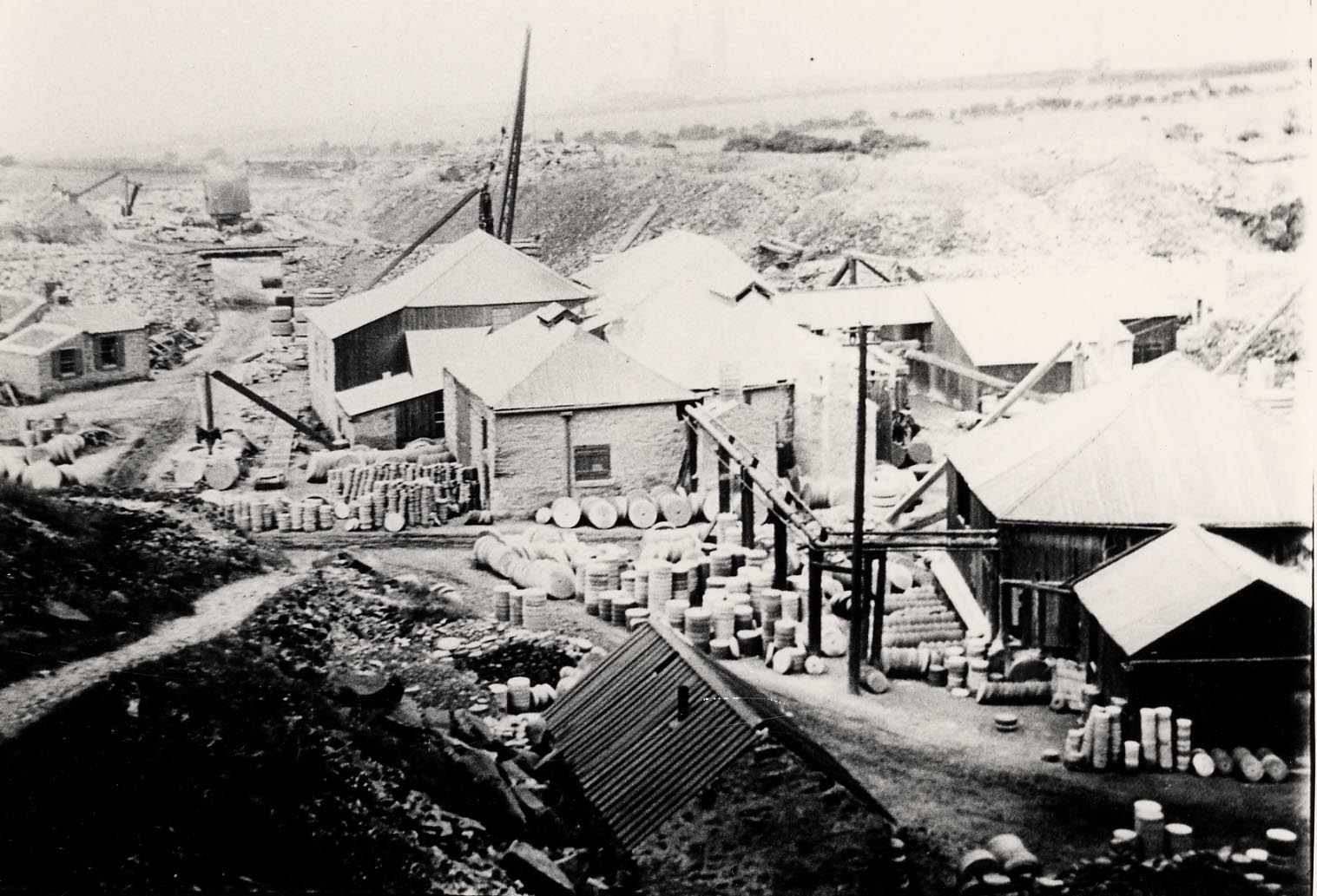
Windynook Quarries
Windynook Quarries
HER Number
3835
District
Gateshead
Site Name
Windynook Quarries
Place
Windy Nook
Map Sheet
NZ26SE
Class
Industrial
Site Type: Broad
Mineral Extraction Site
Site Type: Specific
Quarry
General Period
POST MEDIEVAL
Specific Period
Victorian 1837 to 1901
Form of Evidence
Documentary Evidence
Description
Historic Ordnance Survey map evidence shows Windynook Quarries at this location.
Easting
427610
Northing
560640
Grid Reference
NZ427610560640
Sources
<< HER 3835 >> 1st edition Ordnance Survey Map, c.1855, 6 inch scale, Durham, 7