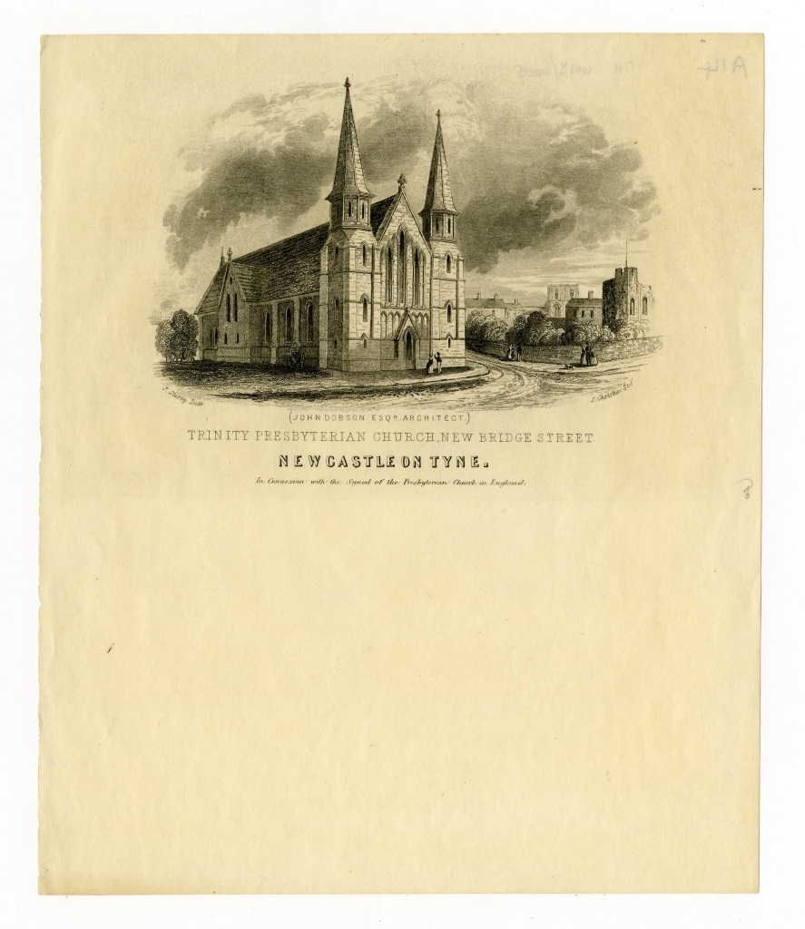
New Bridge Street, Trinity Chapel (Presbyterian)
New Bridge Street, Trinity Chapel (Presbyterian)
HER Number
5972
District
Newcastle
Site Name
New Bridge Street, Trinity Chapel (Presbyterian)
Place
Newcastle
Map Sheet
NZ26SE
Class
Religious Ritual and Funerary
Site Type: Broad
Place of Worship
Site Type: Specific
Presbyterian Chapel
General Period
POST MEDIEVAL
Specific Period
Victorian 1837 to 1901
Form of Evidence
Demolished Building
Description
Shown on Ordnance Survey first edition as "Trinity Chapel (Presbyterian)". Marked as "Trinity Church" on second edition. Possibly demolished by 1919.
Easting
425010
Northing
564530
Grid Reference
NZ425010564530
Sources
<< HER 5972 >> A. McMaster, Tyne and Wear Museums, 2004, Newcastle Central Library, Princess Square, Newcastle upon Tyne, Archaeological Assessment
1864, 1st edition Ordnance Survey map, 25 inch scale, 1850
2nd edition Ordnance Survey map, 1899, 25 inches to one mile scale; T. Faulkner and A. Greg, 1987, John Dobson Newcastle Arhitect 1787-1865, p 58; Peter F Ryder, 2012, Nonconformist Chapels and Meeting Houses in Newcastle and N Tyneside, a survey