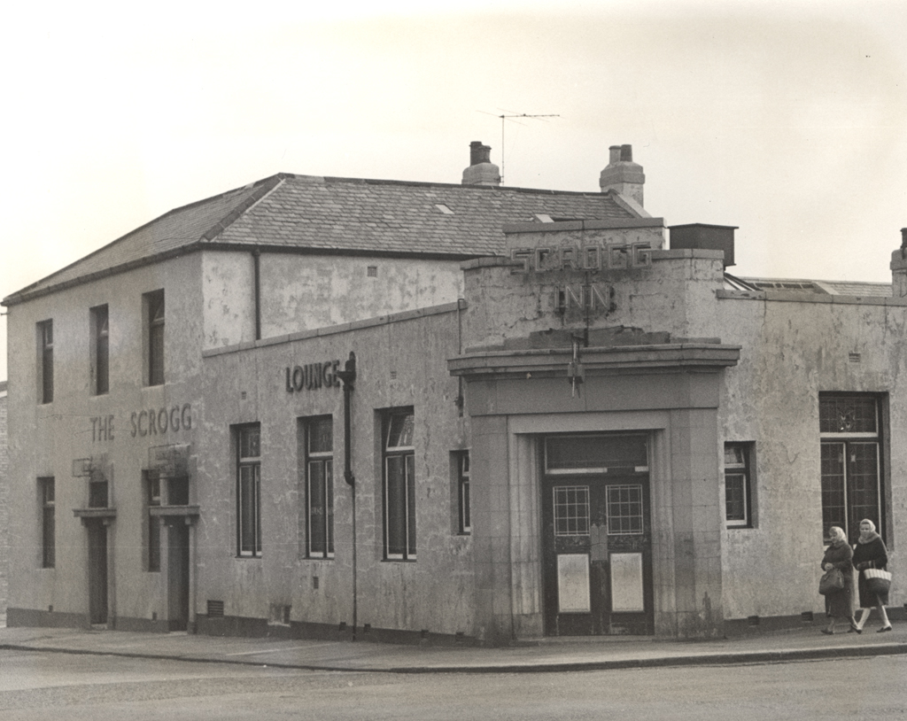
Scrogg Road, Scrogg Inn
Scrogg Road, Scrogg Inn
HER Number
6223
District
Newcastle
Site Name
Scrogg Road, Scrogg Inn
Place
Walker
Map Sheet
NZ26SE
Class
Commercial
Site Type: Broad
Inn
Site Type: Specific
Inn
General Period
POST MEDIEVAL
Specific Period
Victorian 1837 to 1901
Form of Evidence
Extant Building?
Description
Shown on Ordnance Survey second edition map.
Easting
428690
Northing
564500
Grid Reference
NZ428690564500
Sources
2nd edition Ordnance Survey map 1896; Brian Bennison, 1997, Heavy Nights - A History of Newcastle's Public Houses, Volume Two, The North and East, p 43; Lynn F Pearson, 1989, The Northumbrian Pub - an architectural history, p 129