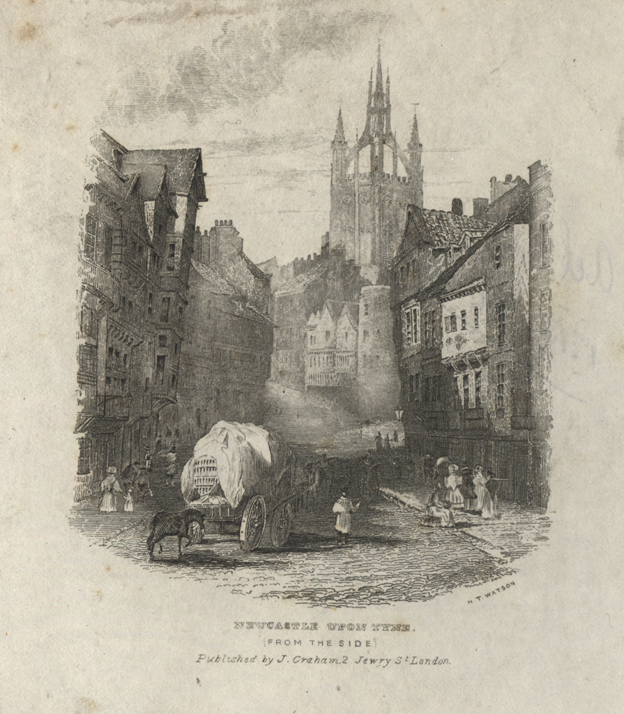
The Side
The Side
HER Number
6577
District
Newcastle
Site Name
The Side
Place
Newcastle
Map Sheet
NZ26SE
Class
Transport
Site Type: Broad
Road Transport Site
Site Type: Specific
Road
General Period
MEDIEVAL
Specific Period
Medieval 1066 to 1540
Form of Evidence
Structure
Description
In The Side there were shops for merchants, drapers and other trades. Bourne describes the street as a very great descent, narrow in width, from the Head of it to Castle Stairs, where it opens out in a spacious breadth into Sandhill. It had shops of merchants, goldsmith's, milliners, upholsters etc on either side. The east side of the street from the upper part to Allhallow Pant (HER 6529) was called Cordiner or Cordwainer Rawe. Gray reports that in the middle of The Side (presumably near Dog Leap Stairs) is an ancient stone house, an appendix to the Castle, which belonged to the Lord Lumleys (see HER 6591). According to Bourne, the tenements in The Side supported the chantries of St Catherine, SS Peter and Paul, St Cuthbert, in the church of St Nicholas. Welford describes a house once belonging to the nuns of St Bartholomew on the west side of The Side.
Easting
425190
Northing
563920
Grid Reference
NZ425190563920
Sources
W. Gray, 1649, Chorographia, pp 16-17; H. Bourne, 1736, The History of Newcastle upon Tyne; Welford, 1577, History of Newcastle and Gateshead, II, pp 493-5; W. Collard and M. Ross, 1842, Architectural and Picturesque Views in Newcastle upon Tyne, opp p 35; Barbara Harbottle, 2009, The Medieval Archaeology of Newcastle in Diana Newton and AJ Pollard (eds), 2009, Newcastle and Gateshead before 1700, page 31; CP Graves and DH Heslop, 2013, Newcastle upon Tyne, The Eye of the North - An Archaeological Assessment, p 109;